Day 8, 15th September, 2012
Tangtse > Lukung > Spangmik (50 KM)
On the Way
After having the breakfast, we started leisurely at around 10.30 in the morning towards Pangong Tso. Our excitement knew no bounds today since Pangong was the major attraction of Ladakh. We only were familiar about its vastness and magical colours through books and internet. So the expectation was to the fullest.
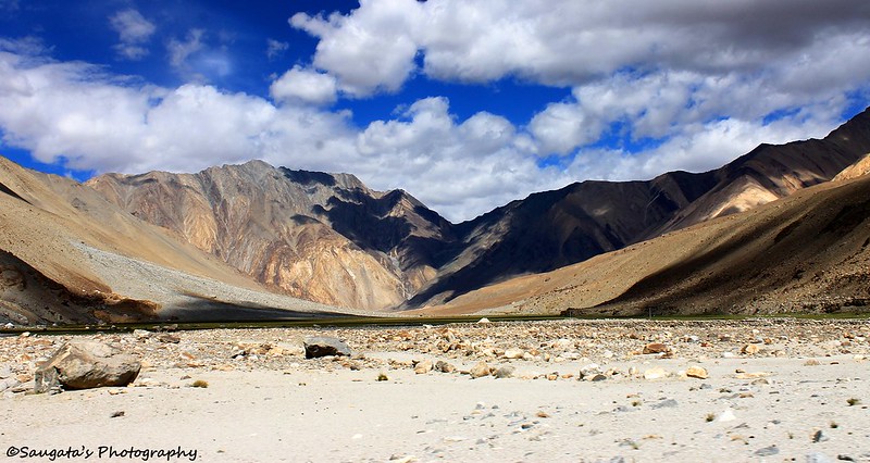
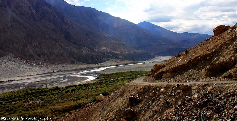
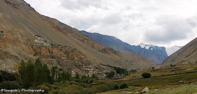
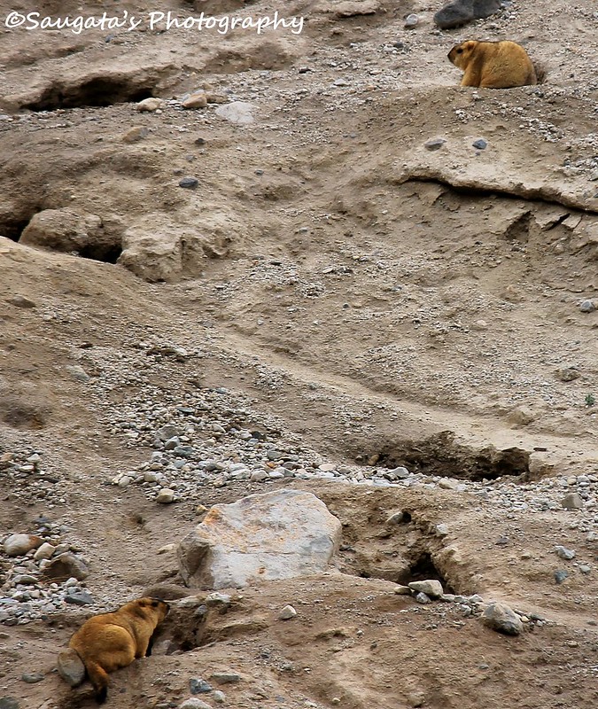
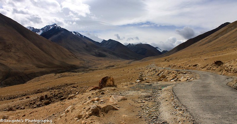
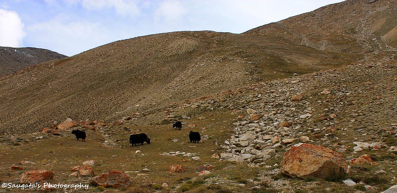
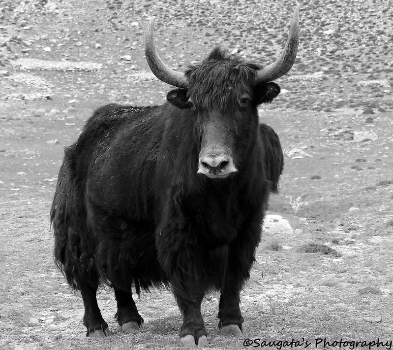
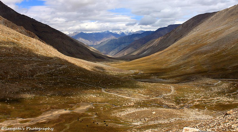
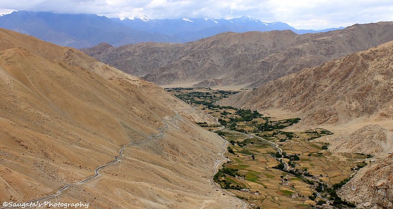
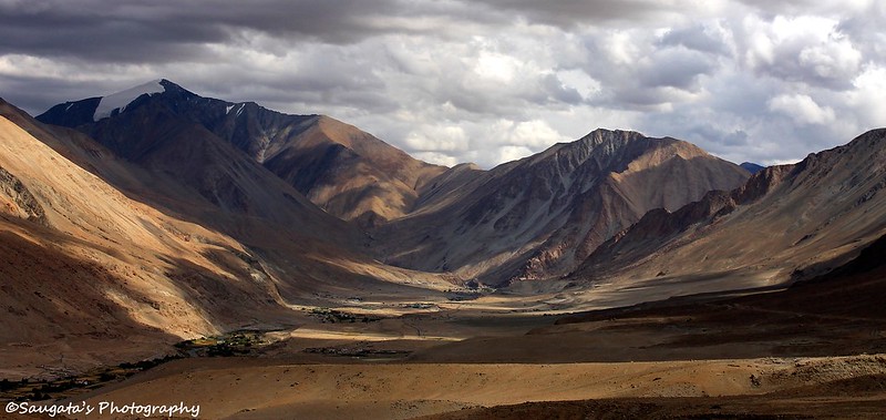
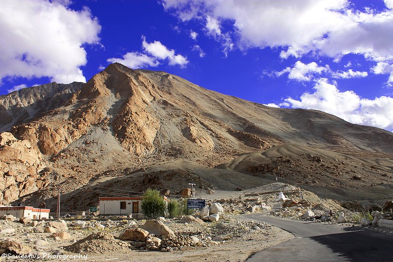
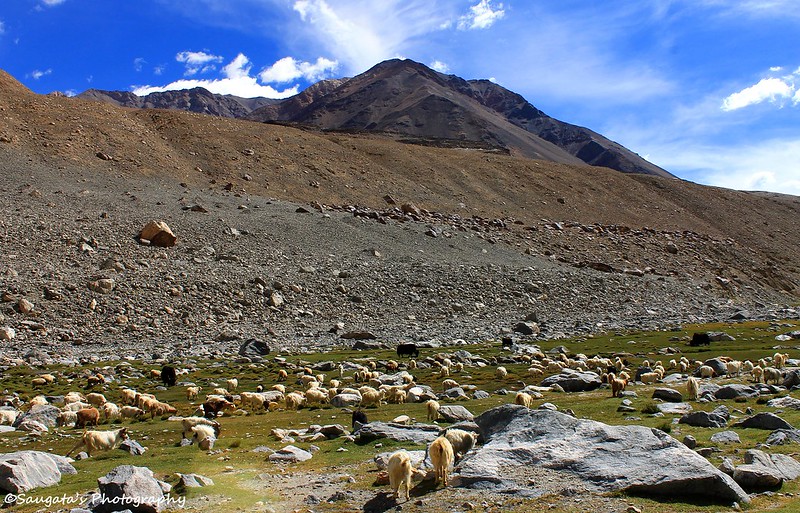
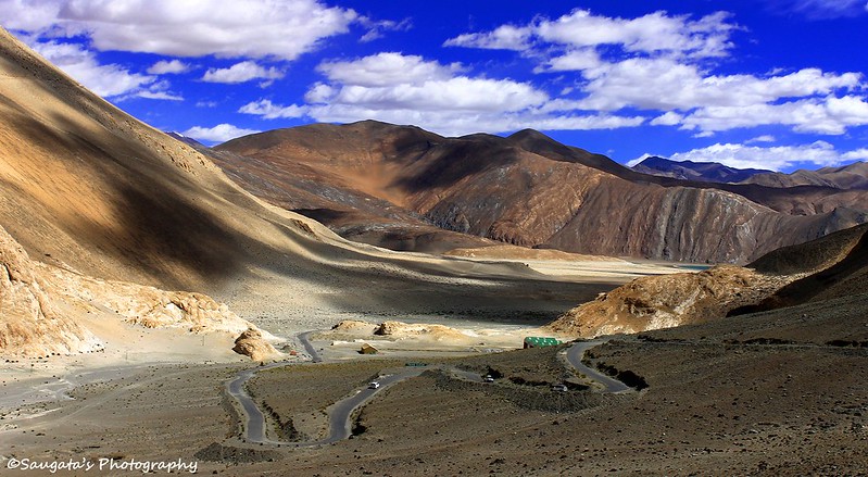
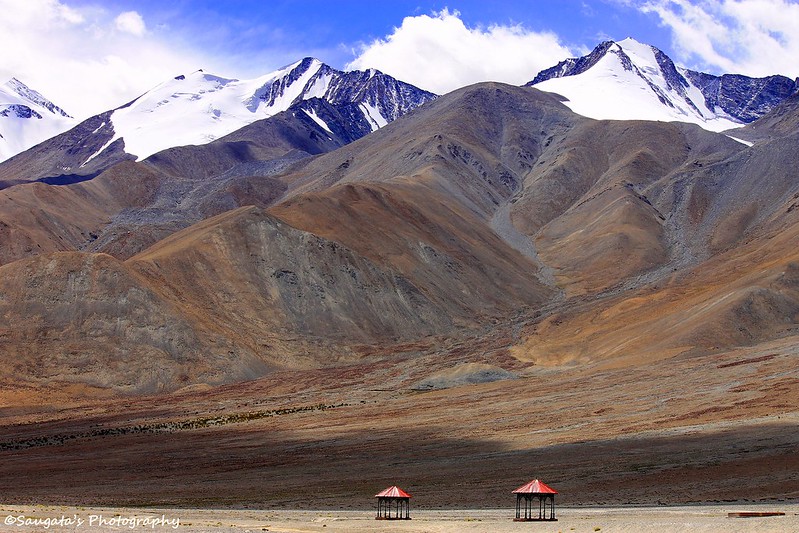
The road towards Pangong was in excellent condition barring a few challenging stretches. From grasslands to sandy areas, from tarred road to gravelled ones, from Yaks to Marmots (from very far) we crossed many different vistas.
 |
| On the Way to Pangong |
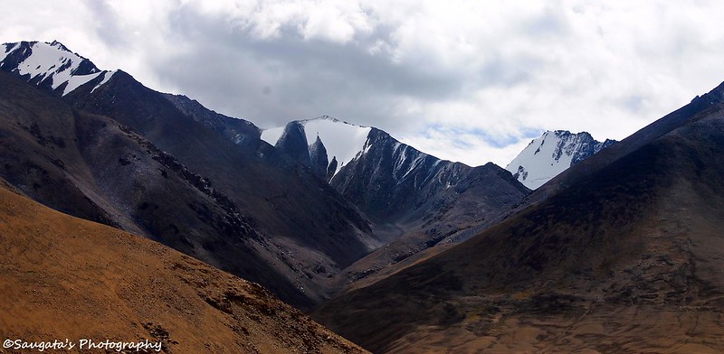
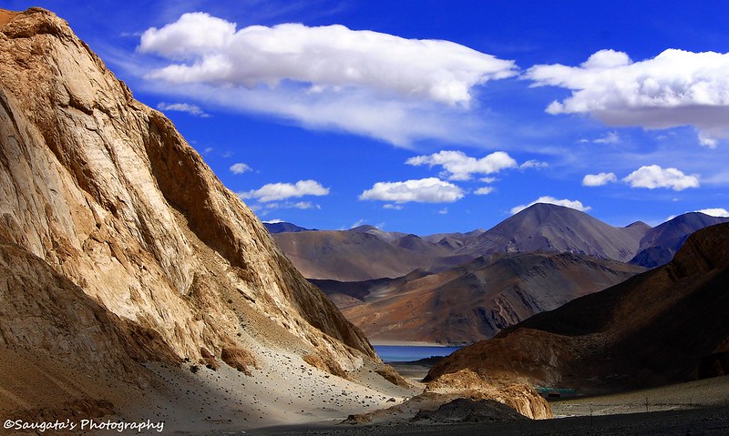
Suddenly a board appeared stating the ‘first view of Pangong’ – a slice of blue at the distant horizon was visible, like a magic. We were ecstatic, but we didn’t know that it was just a demo version, the full version was beyond any imagination of the mortal.
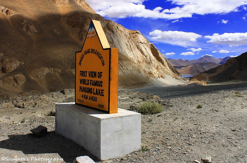 |
| First View |
 |
| Second View |
 |
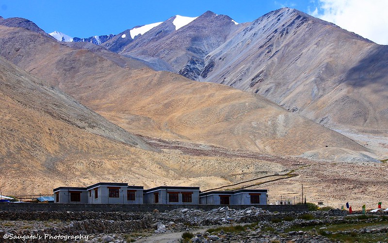
| Nearing the Tso |
Pangong, Pangong and Pangong
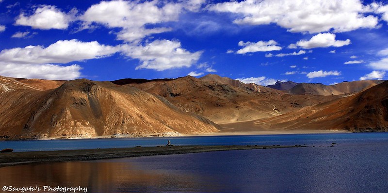
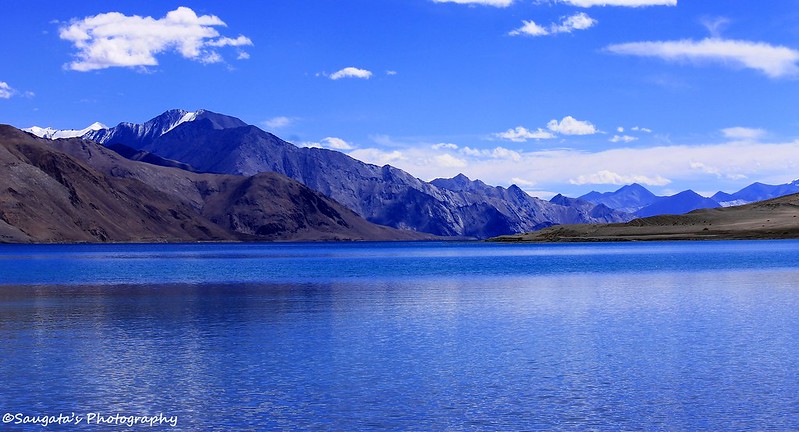
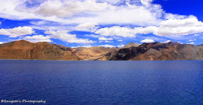
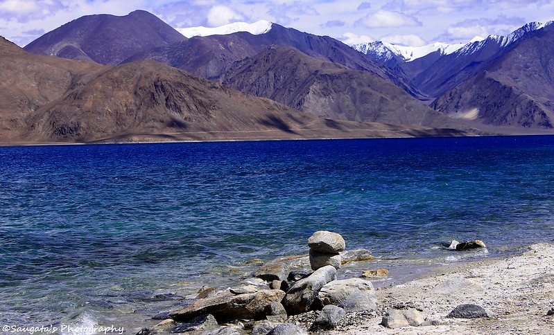
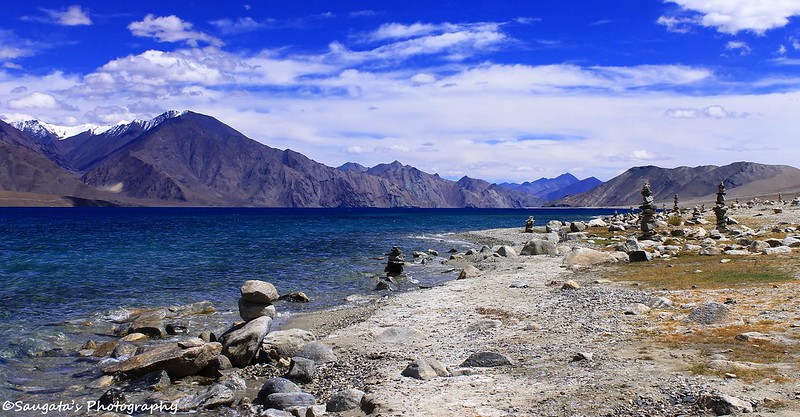
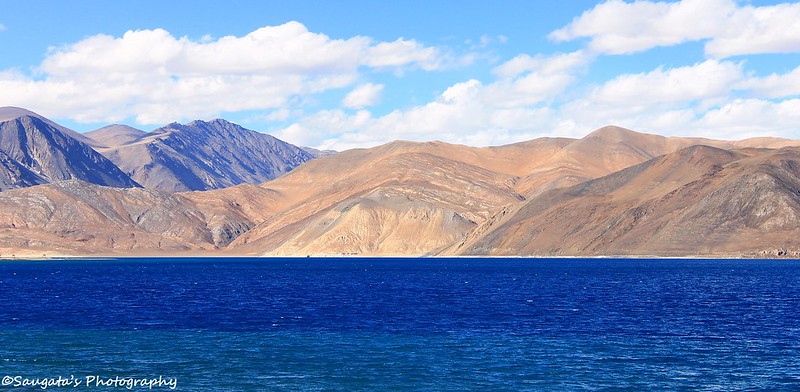
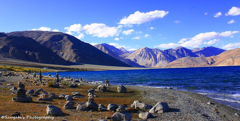
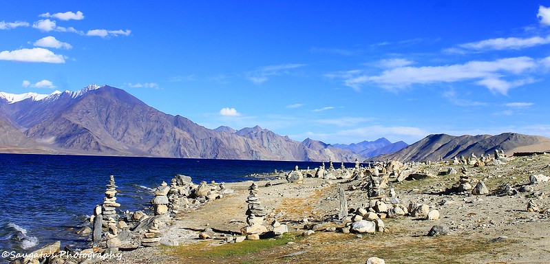
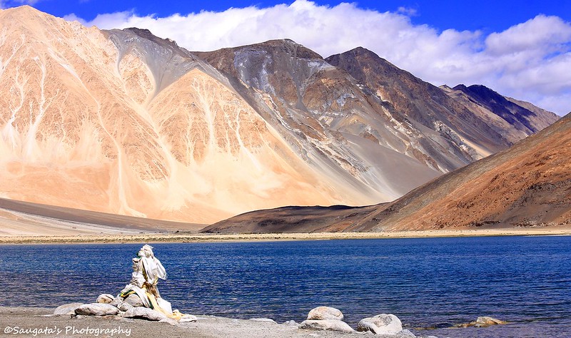
Pangong Tso is one of the high altitude lakes (‘Tso’ means lake in Ladakhi) in world, situated at an altitude of 14270 feet (4350 meters) stretching from India to as far as Tibet. It is around 140 km long and the total area covers 605 sq km, more than 60% of which lies in China.
We reached Lukung at around 12.30 pm. And Pangong appeared with all its vastness, suddenly after a turn. We were awestruck. As far as the eyes could reach, the blue water was all over. Surrounded by the enormous hills and with the reflection of the clear blue sky above, the water seemed even bluer. Our wishes were fulfilled. We couldn’t expect any weather better than this.
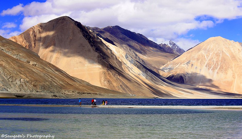
We drove through the banks of Pangong towards Spangmik (Pangmik) with numerous photo-stops and hence we took 1.5 hours to cover the 15 kms distance between Lukung and Spangmik. The closer we reached to Spangmik, the vaster the lake appeared to be. It seemed endless. No wonder it used to be a sea during the pre-historic age, its waves and the saline water still carried the proof of the same.
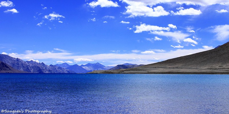
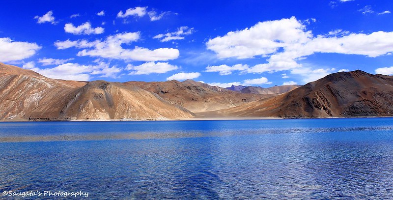
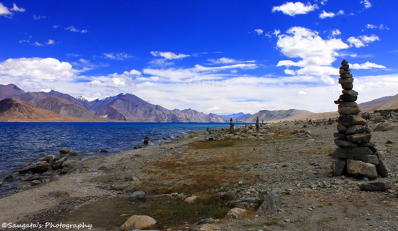
We reached Spangmik at around 2 pm. Rigzin managed to bargain us a great deal at the JKTDC resort (Pangong Camp and Resort) and a great room with a clear view of Pangong. We checked in, had lunch and immediately reached to the shore of Pangong. The weather was cold, but the beauty was beyond my capability to express. So no more babbling, here we go with the pictures of Pangong from different angles. In a nutshell, Pangong surpassed all expectations. Only heaven could be more beautiful than this.
 |
| Reflection |
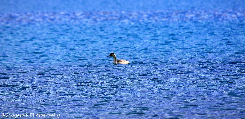 |
| Migratory Birds |
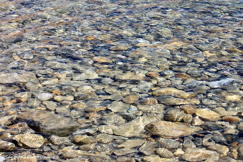 |
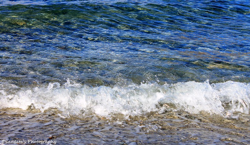
| Crystal Clear Water |
 |
| 3 Idiots Shooting Point - which brought more public attention to Pangong |
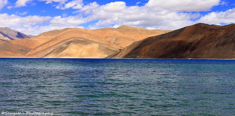 |
| Shades of Blue |
 |
| The Shore |
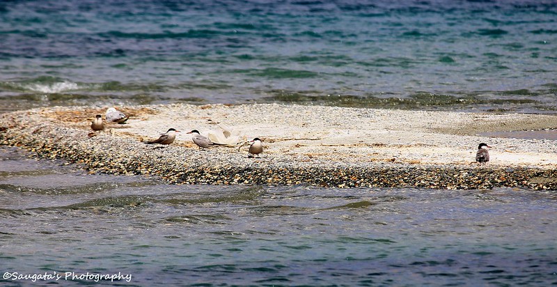 |
| Temporary Residents of Pangong |
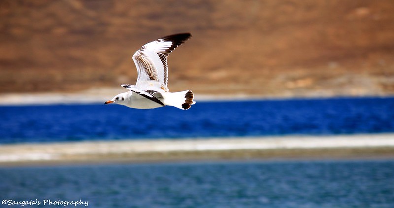 |
| The Flying Colours |
 |
| Watch Points |
 |
| A Romantic Experiment |
 |
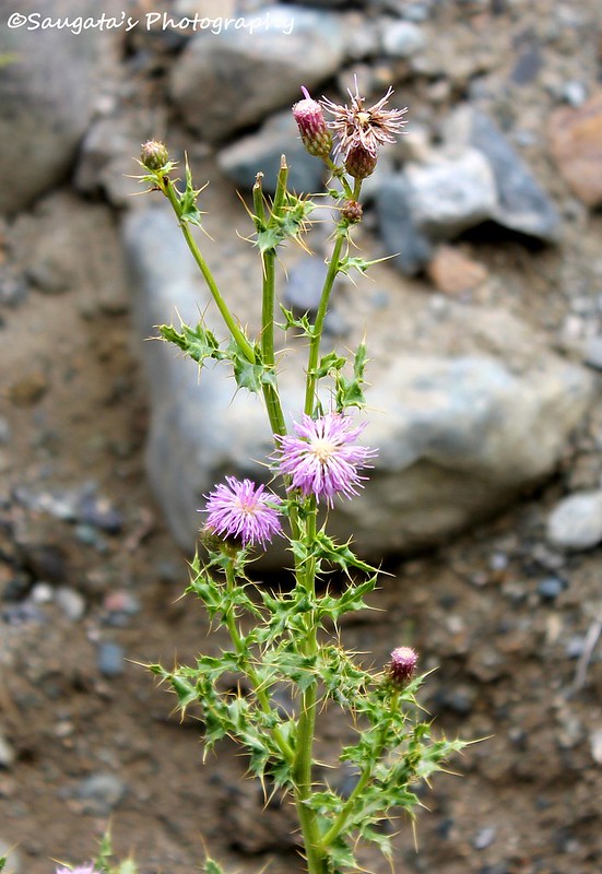
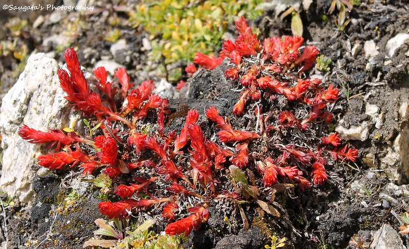
| Vegetation |
 |
| JKTDC Resort Pangong - where we stayed |
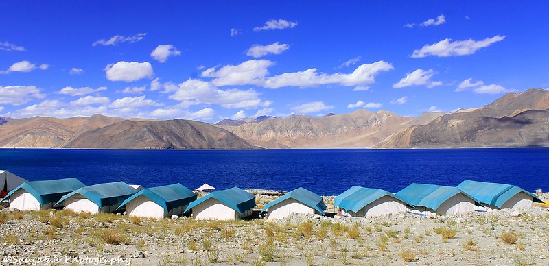 |
| Camps at Pangong |
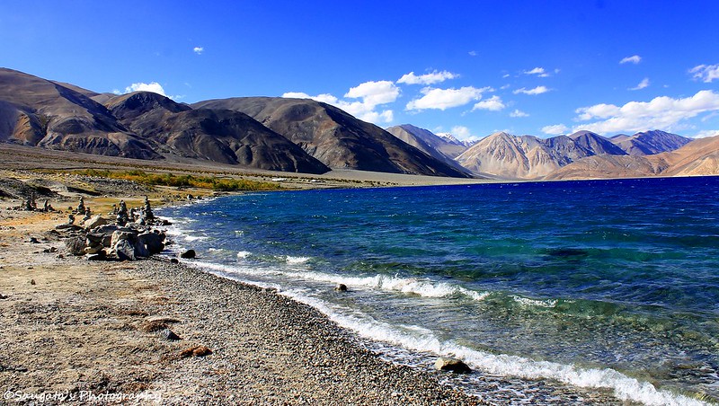 |
| The Waves |
 |
| Prominently Different Shades |
 |
| Soul Searching |
 |
| The Chhortens of Pangong |
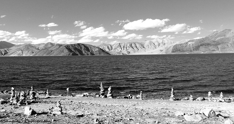 |
| The Chhortens of Pangong in Monochrome |
To Be Contnued...
Next: Pangong to Leh